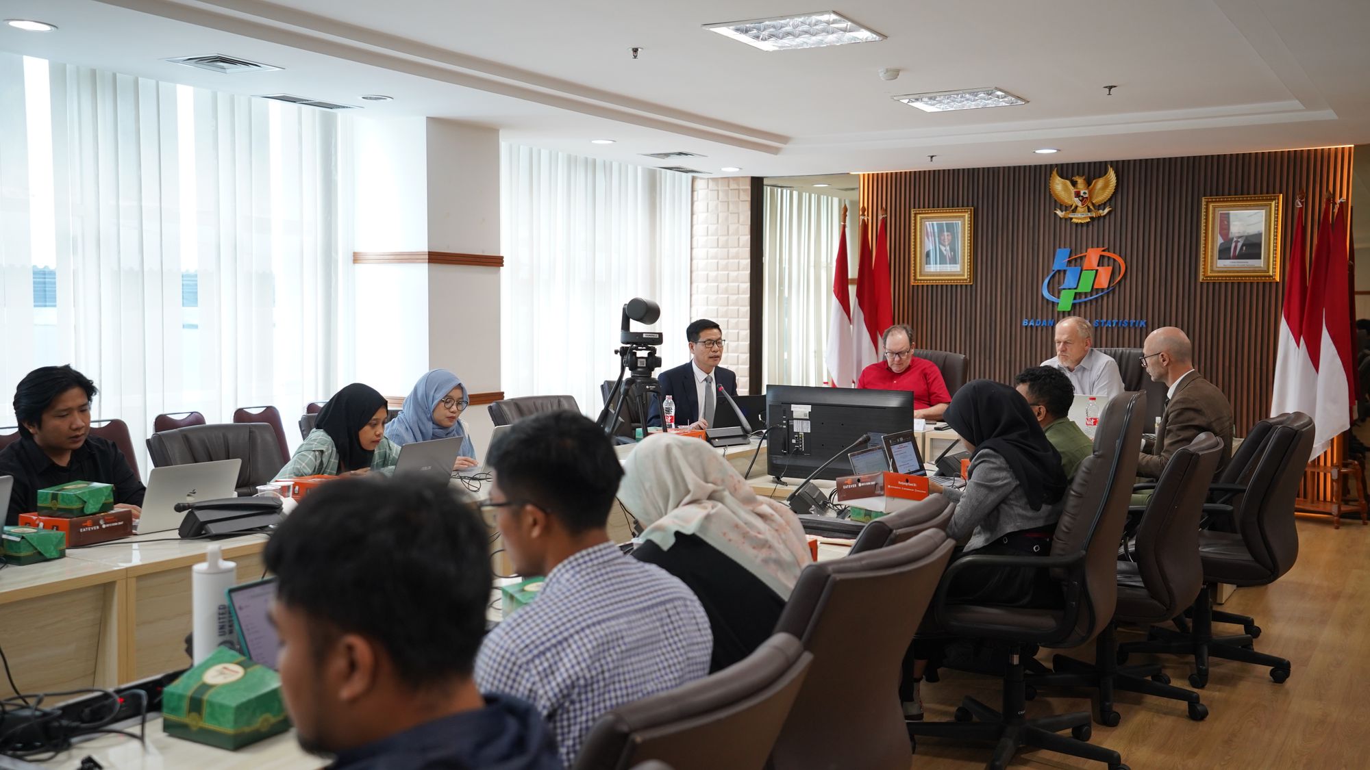
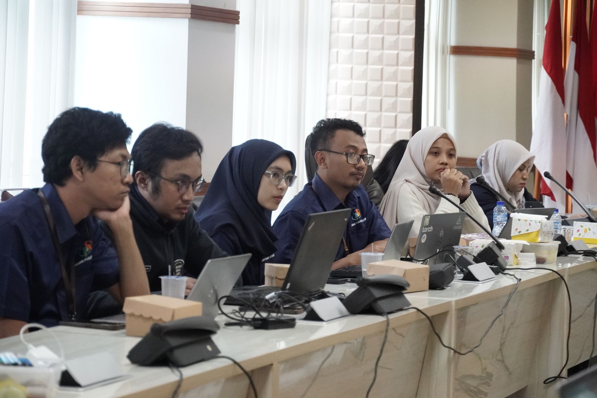
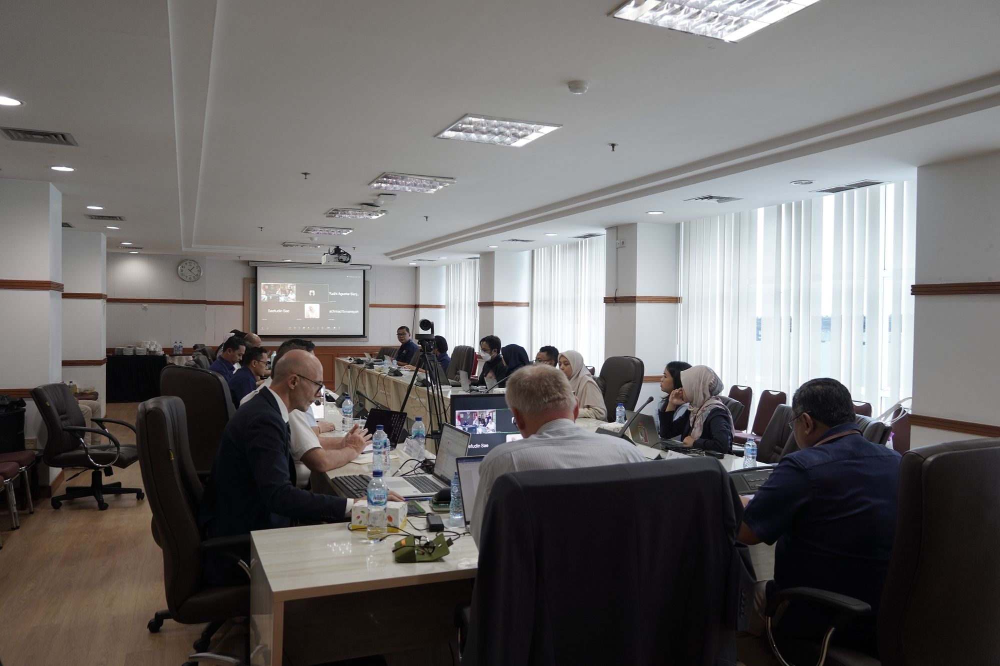
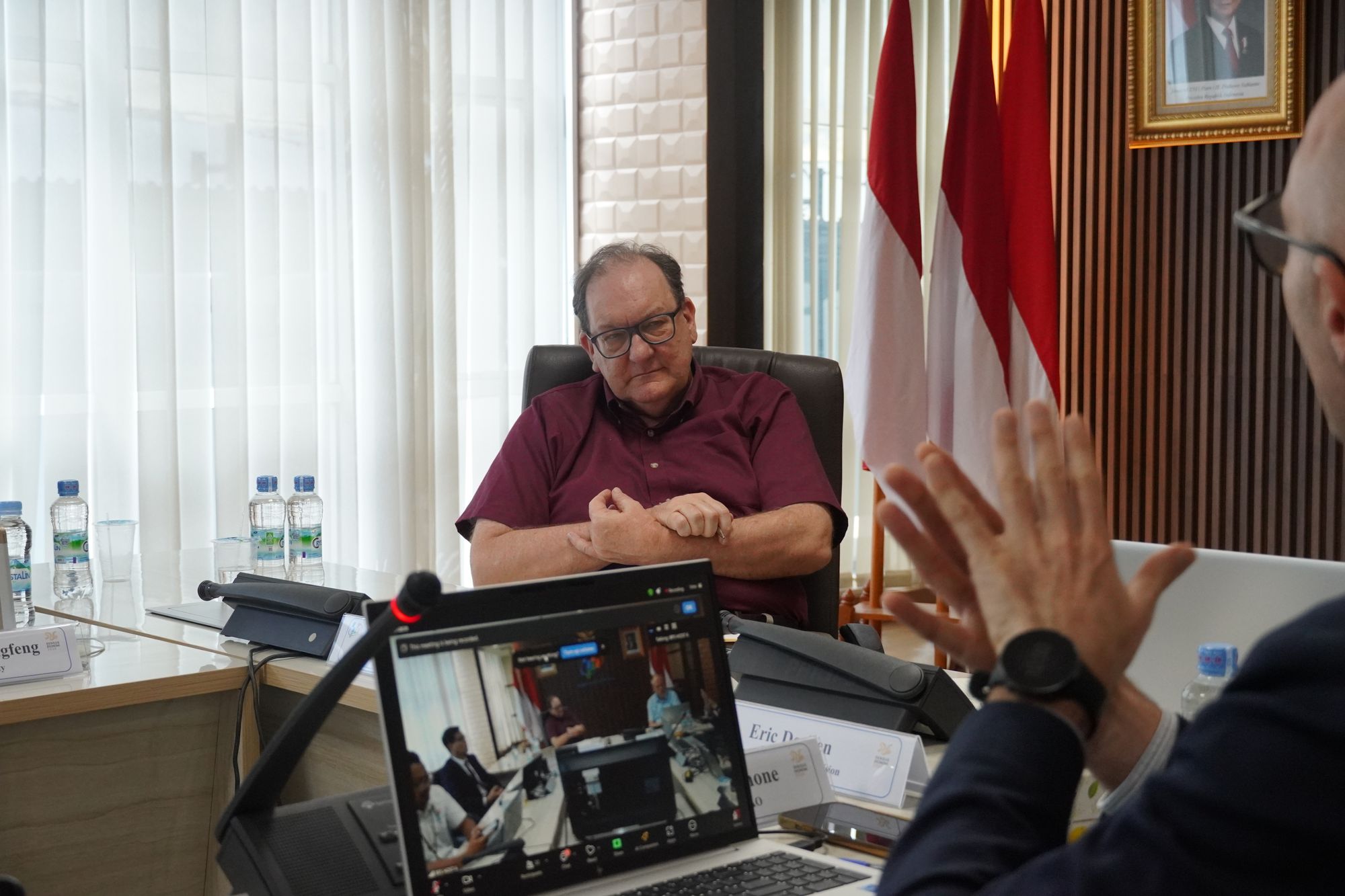
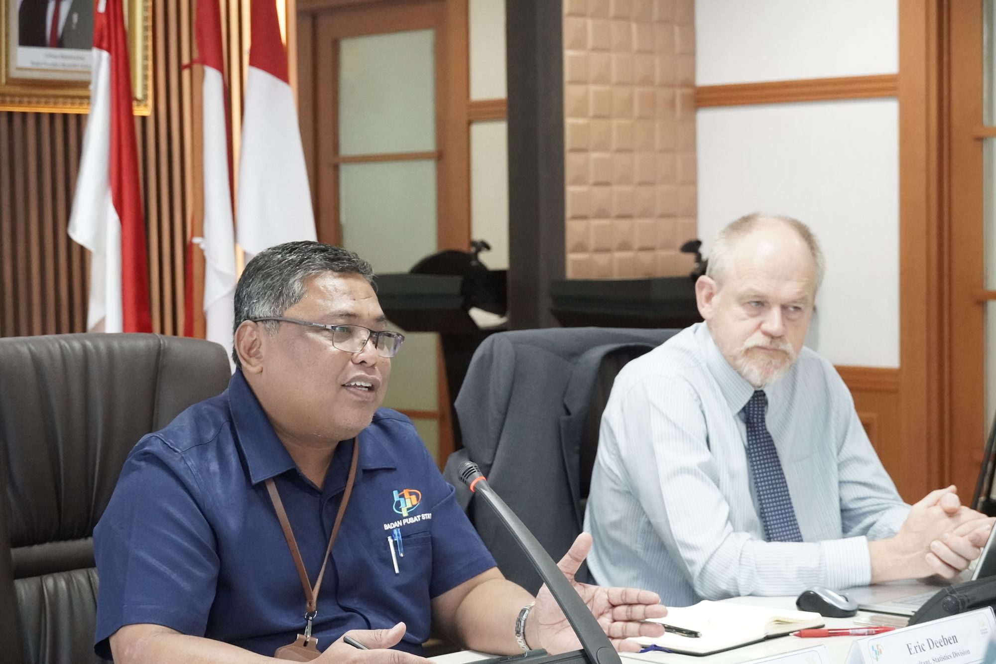
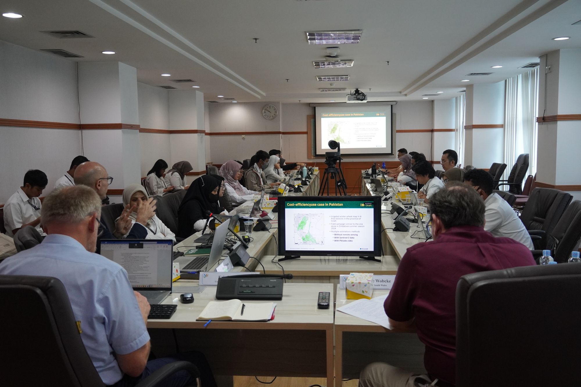
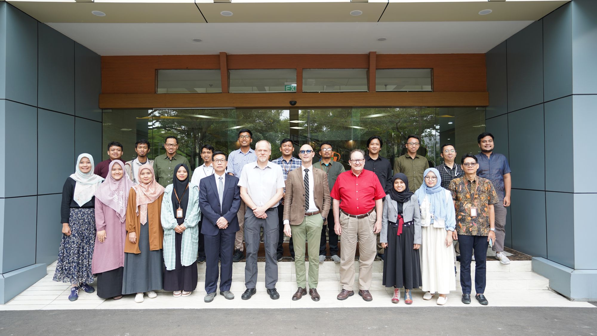
BPS-Statistics Indonesia, in partnership with the Regional Hub on Big Data and Data Science for Asia and the Pacific, held a workshop titled “Utilizing Earth Observation Data for Rice Data Calculation” in Jakarta on December 3–4, 2024. The event brings together global experts as keynote speakers, with support from UN ESCAP and FAO.
This activity is a component of the "One Rice Data Initiative" project, aimed at developing the Mixed Method for rice production data calculation. The Mixed Method combines two approaches: field surveys and Earth Observation data. The use of big data in gathering field data is intended to enhance cost efficiency.
The purpose of this workshop is to enhance the skills of the human resources involved in the Mixed Method project, offering new perspectives on the use of high-resolution satellite imagery and modeling for crop types and yields. Through insights from global experts, participants will have the opportunity to learn from the experiences of other countries in implementing this technology.
The workshop covered four key themes: (1) Rice Mapping Using Optical and Microwave Satellite Data, (2) Rice Growth Monitoring and Yield Prediction, (3) The Philippine Rice Information System in Operation, and (4) High-Resolution Satellite Imagery Acquisition Using the COSMO-SkyMed Platform.
The keynote speakers for the workshop include:
- Professor Jingfeng Huang, a distinguished scholar from Zhejiang University, renowned for his expertise in agricultural remote sensing with a particular focus on rice.
- Jovino Lopez De Dios, Supervising Science Research Specialist from the Philippine Rice Research Institute (PhilRice) and head of the development of the Philippine Rice Information System.
- Lorenzo De Simone, Geospatial Technical Adviser from FAO, who has been actively involved throughout 2024 in “The Big Data in Rice Mapping Project” in collaboration with BPS.
- Dott. Vittorio Gentile, He has worked in e-GEOS and he is a member of Product Development and Innovation - Radar Application Unit in e-GEOS.
- Dr. Jonathan Richetti, a research scientist with the Spatial-Temporal Decisions team in CSIRO Agriculture & Food.
This workshop is a key component of an ongoing initiative aimed at enhancing rice data collection methods by integrating Earth Observation (EO) technology. The event serves as an important platform for fostering deeper collaboration between Statistics Indonesia (BPS) and global experts, with a shared focus on modernizing agricultural statistics. By leveraging big data—specifically satellite imagery. This initiative seeks to reduce reliance on traditional field surveys, while simultaneously addressing challenges such as high operational costs and limited field access, especially in remote areas. Through knowledge sharing and practical training, the workshop will enable participants to gain valuable insights into how big data and EO technology can be applied to improve agricultural monitoring systems, helping to inform more effective policy decisions for food security and agricultural sustainability.
